Parks Victoria has announced Monday to Friday closures of iconic sambar hunting locations throughout the Alpine National Park and surrounding Parks. The Dargo High Plains, Dinner Plain, Carey River and Avon Wilderness area are amongst the list of areas that will be closed for the aerial shooting program.
You would have to have blinkers on not seeing what has become an obvious agenda from the Victorian Government regarding hunting. Pandering politics has resulted in zero consultation with hunters and no representation from the Game Management Authority.
The rural areas surrounding these hunting grounds are already struggling, and this is just another nail in their coffin.
Parks Victoria said “The aim of the program is to reduce deer activity around significant environment values in burnt areas that are vulnerable to deer impacts, including alpine wetlands and rainforests. These environmental values occur in localised areas where control works will be focussed. Therefore, this program will have little impact on people’s ability to go hunting, and limited influence on people’s opportunity to shoot deer. Deer numbers in eastern Victoria are at such a level now that eradication is not possible using currently available control tools”.
Traditional stalking areas should be the last areas target with aerial culling. These areas bring much needed fundsto regional Victoria and provide recreation for thousands of hunters that pay a licence fee for the pleasure. Hard to reach areas that see little to no human trafic would be time better spent.
Parks Victoria Media Release
Following the 2019-20 bushfires, Parks Victoria and the Department of Environment, Land, Water and Planning (DELWP) are implementing a coordinated deer and feral animal control program in parks and reserves across Eastern Victoria.

The aim of this program is to remove deer and feral animals from priority fire-affected and adjacent areas, giving native plants, plant communities and animals the best chance of survival after fires.
The 2019-20 bushfires had a devastating impact on native species and large areas of habitat in Victoria. Under these conditions, deer and feral animals are a significant threat to survival and recovery as they seriously damage native vegetation and important habitat areas through grazing, browsing, trampling and wallowing.
Coordinated action is required to control deer and feral animals, not just in the burnt areas, but also in the adjacent unburnt areas which provide refuge for native species and harbour for introduced species.
A variety of tools are used to maximise the effectiveness of Victoria’s animal control programs. Many considerations are given (e.g. humaneness, cost, efficiency) to determine which tools, or control methods, are used for particular animals in particular places. Examples of control methods include:
Baiting foxes
Trapping cats
Baiting and trapping for feral pigs
Exclusion fencing to keep deer away from endangered plants
Shooting (aerial and ground) for deer and feral pigs
Spraying and removal of weeds
This work is funded by the Victorian Government’s Bushfire Biodiversity Response and Recovery program.
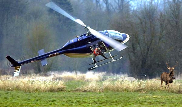
Aerial shooting
Aerial shooting is an appropriate, effective and humane method of control across large and remote areas which have been burnt and are difficult or unsafe to access by foot.
The aerial shooting program is targeting deer, feral pigs, feral goats, feral cattle and foxes, to give threatened plants, plant communities and animals the best chance of survival and recovery following the fires.
The following parks will be closed Mondays to Fridays during the following dates to ensure the safe implementation of the program.


0 Comments