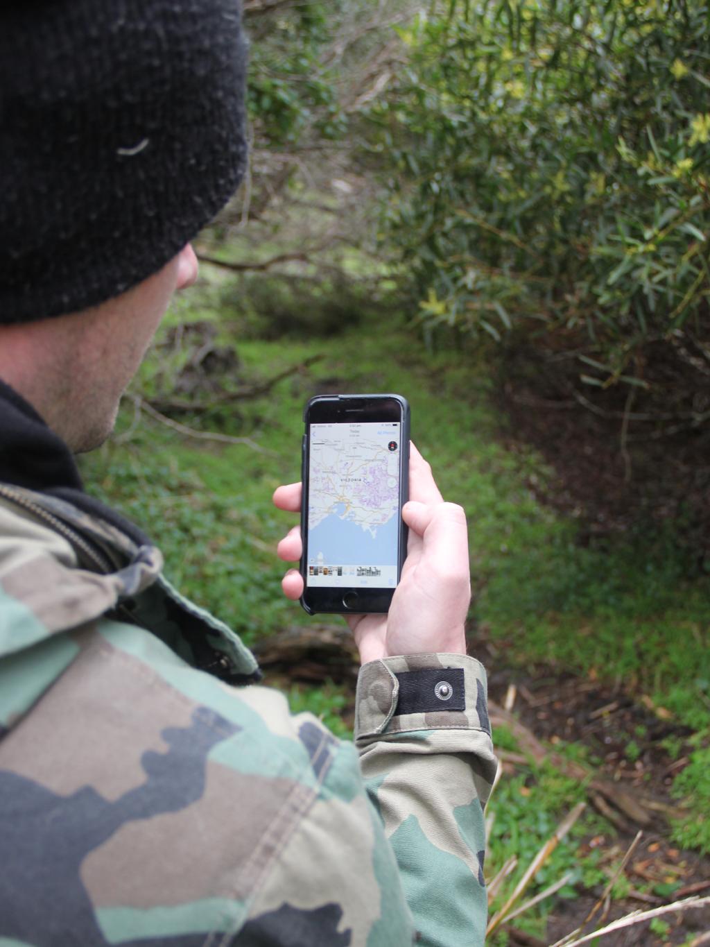
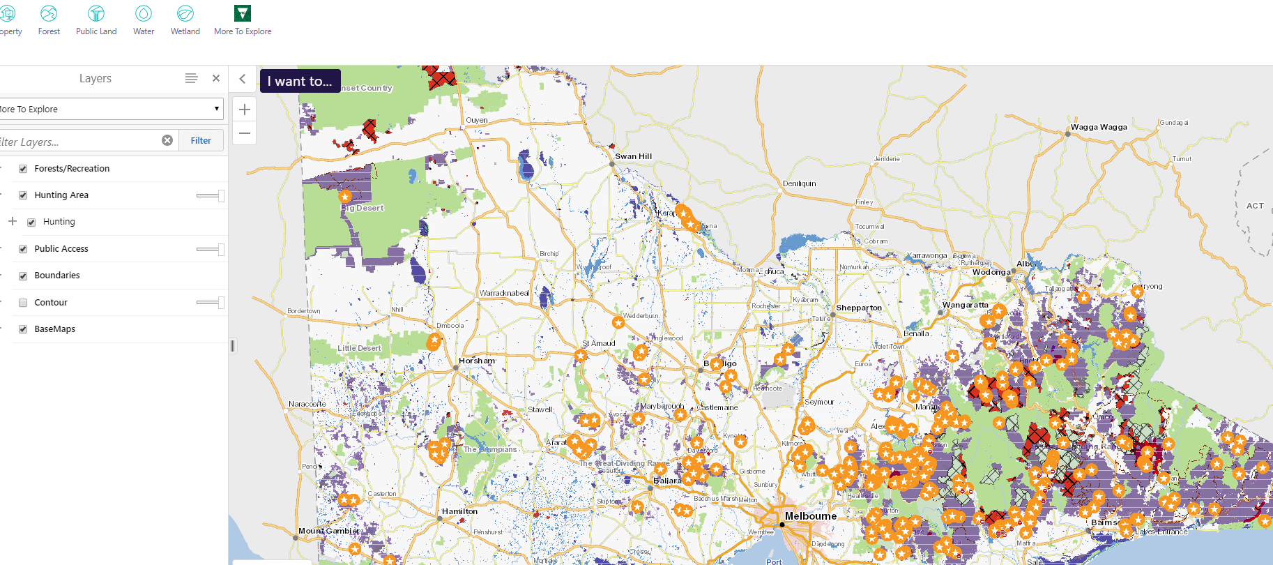
Phones have become everyone’s everything device and to make things easier for hunters the Victorian Government has released a new set of hunting maps on the updatedMore to Explorephone app. The app will help users navigate the more than 3 million hectares of state forest in Victoria.
The app is Victoria’s first comprehensive electronic mapping system showing all public land available for hunters, as well as which species of both game animals and pests can be hunted in specific areas – with the maps also available for download to use offline or out of mobile range.
With more than 50,000 licensed hunters in Victoria, clearly showing where people can hunt is an important step towards
making sure hunters are aware of their responsibilities and stay within legal boundaries.
Victorian Agriculture minister Jaclyn Symes said the updates to the app were delivered as part of Labor’s Sustainable Hunting Action Plan.
“The new maps are part of our commitment to make sure hunting is conducted in a safe, responsible and sustainable way right across the state,” Ms Symes said.
The app will be regularly updated to show changes in land status and road usage.
It also features information on camping sites, bushwalking tracks and mountain bike and four-wheel drive trails, as well as an emergency location function.
For more information click here


0 Comments